
High Frequency GPS
DESCRIPTION
A very reactive speed over ground.We have found significant differences between water and ground speed in a non tidal zone. This is due to the difference in speed above and below the wave.
 CHARACTERISTICS
- 65 channels GPS
- Output: TOPLINE and NMEA 183
- Power supply: 12v DC when connected to TOPLINE bus and 6-33v for any other intallation
- Consumption: 50 mA to 12v DC
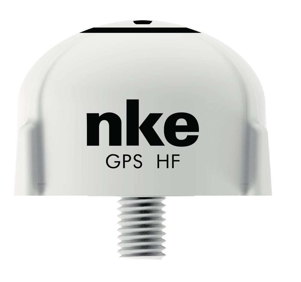
- Dimensions: 720mm x 50mm
- Mounting: on deck or rail with 1 ¼’ standard thread mounting bracket
- Bus cable length: 10 metres without connector
- Weight: 270g without cable
- Protection: IP 67
- Ref. 90-60-397
 FUNCTIONS
Position accuracy and any tiny boat speed acceleration detected at the high rate of 10 Hz.
This HF GPS is a great alternative to the conventional speed sensor. It allows a very accurate measure of the starting line. Once we have supplied high frequency GPS to Open 60’ we have been able to work on all the data logged by Michel Desjoyeaux skipper of FONCIA. Actually, we have noticed significant differences between speed-over-ground and boat-speed in areas where there is no courant. The speed of the surface layer of water on the waves explains that difference. A wave consists in a transversal movement that carries energy, not matter. But in some cases, the upper layer of water moves in an elliptic way, generating an apparent wind which adds to the boat-speed (boat-speed being the speed at which the boat sails on that water layer).
Autopilot in Wind Over Ground mode!
While using the true wind mode the pilot does not take this apparent wind variation in consideration. The true wind angle value is affected by the movement of that water surface layer and the pilot should compensate. We have noticed that this water layer can reach speeds as 2 to 3 knots! This is quite significant. At a 126 ° true wind angle with 10 knots of apparent wind it gives a 10° variation of the true wind angle value. For an accurate true wind angle process, it is important to consider the speed of that “water layer”. In other words, use speed-over-ground data to process the values of true wind. This is possible with an ultra-high precision GPS.
Using a HIGH FREQUENCY GPS opens the door to the use of autopilot in a new mode: the “WIND OVER GROUND” MODE. Now available thanks to the new high frequency GPS developed by NKE.
This sensor supplies speed over ground data at a 10 Hz frequency (10 / second). It connects directly to the nke BUS. An NMEA output allows interfacing with a PC for use of GPS data.
Users tip
Toggling speed data source is done in the Gyrographic setup menu. Once activated, the true wind mode on the pilot will implement that choice automatically.
Another good reason for using the High Frequency GPS: in case of failure of the boat speed sensor, the true wind mode remains available for the pilot.
This sensor is recommended for boats using the nke Gyropilot
It requires the True Wind Option on the pilot and the Ground Speed option on the Speed/depth interface.
 USER GUIDE
![]()
![]()
![]()
![]()
Find all the manuals in the User guides section
SEE ALSO
- True wind and SOG option for Gyropilot2 [ref. 90-60-296]
- SOG 2 option for speed-depth interface
